Location & Boundaries
Situated on a tableland where the Western and
Eastern Ghat ranges converge into the
Nilgiri hill complex, the State of Karnataka
is confined roughly within 11.5 degree North
and 18.5 degree North latitudes and 74 degree
East and 78.5 degree East longitude.
The State is bounded by Maharashtra and Goa States
in the North and North-West; by
the Arabian sea in the West; by Kerala and Tamilnadu
States in the South and by the State
of Andhra Pradesh in the East. The State extends
to about 750 km from North to South
and about 400 km from East to West, and covers
an area of about 1,91,791 sq.km.
Some Important Places in Karnataka
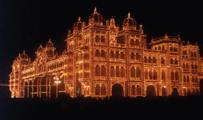
Mysore Palace
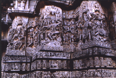
Belur-Halebid
Falls at Shivanasamudra

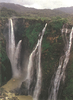
World Famous JOG Falls